PakistanLahore
Lahore
Administrative Region:
Punjab
population:
11 126 285
calling code:
+92-42
postcode:
53100
53400
53710
53720
54000
54020
54030
54500
54550
54560
54570
54590
54600
54610
54650
54660
54700
54760
54762
54770
54780
54782
54792
54800
54810
54850
54870
54880
54890
54900
54920
55160
Location on the map of Pakistan
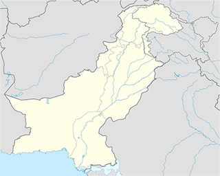
Lahore
Convenience store

Embassy
Local government office
e-Khidmat Markaz Government of the Punjab
13th Floor, Arfa Software Technology Park, 346-B Lahore–Kasur Road, Ferozepur Road, Lahore
Bureau of Emigration & Overseas Employment, Protector's Office/NADRA OFFICE
117 G Block Model Town, Lahore
etisalat emarat mobile phone company
29, 1 Shalimar Link Road, Lahore
Natural feature
Painter
📑 Lahore all categories
AccountingAdministrative area level 2AirportAmusement parkArt galleryAtmBakeryBankBarBeauty salonBicycle storeBook storeBowling alleyBus stationCafeCampgroundCar dealerCar rentalCar repairCar washCasinoCemeteryChurchCity hallClothing storeColloquial areaConvenience storeCourthouseDentistDepartment storeDoctorElectricianElectronics storeEmbassyFinanceFire stationFloristFoodFuneral homeFurniture storeGas stationGeneral contractorGrocery or supermarketGymHair careHardware storeHealthHindu TempleHome goods storeHospitalInsurance agencyIntersectionJewelry storeLaundryLawyerLibraryLiquor storeLocal government officeLocalityLocksmithLodgingMeal deliveryMeal takeawayMosqueMovie rentalMovie theaterMoving companyMuseumNatural featureNeighborhoodNight clubPainterParkParkingPet storePharmacyPhysiotherapistPlace of worshipPlumberPoint of interestPolicePoliticalPost officePremiseReal estate agencyRestaurantRoofing contractorRouteRv park, campingSchoolShoe storeShopping mallSpaStadiumStorageStoreSubway stationSupermarketTaxi standTrain stationTransit stationTravel agencyUniversityVeterinary careZooadministrative area level 3sublocality level 1sublocality level 2sublocality level 3