places in Jacobabad
Pakistan
Jacobabad
Jacobabad
Administrative Region:
Sindh
population:
191 076
calling code:
+92-722
postcode:
79000
Location on the map of Pakistan
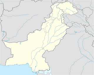
Jacobabad
Police
Civil Line Police Station
Jacobabad
Police
read more
City Police Station
City Police Station Road, Jacobabad
Police
read more
Airport Police Station
Jacobabad
Police
read more
Police Headquarter Jacobabad
Jacobabad
Police
read more
Post office
G.P.O
Jacobabad
Post office
read more
School
Govt Boys Secondary School
Shikarpur-Jacobabad Rd, Jacobabad City, Jacobabad, Sindh
School
read more
Gul Model College
Stadium Road, Jacobabad
School
read more
Victor Public Higher Secondary School
Jacobabad
School
read more
النور پبلڪ اسڪول جيڪب آباد
Jacobabad
School
read more
Falcon Public School
Jacobabad
School
read more
Shah Latif Public Secondary School Jacobabad
Jacobabad
School
read more
Sardar Public School
Afzal Baba Qabristan Road, Jacobabad
School
read more
Govt:(Boys) Higher Secondary School
Shikarpur Road, Jacobabad
School
read more
Bahria Foundation College
Circuit House Road D.P.O House Road, Jacobabad
School
read more
Anwar Brohi school
Jacobabad
School
read more
Govt:(SMAM) Primary School
Jacobabad
School
read more
Govt:(SMAM) High School
Jacobabad
School
read more
Al-Rehman Public School Jacobabad
Shaheed Murtaza Bhutto Park, Quaid-e-Azam Road, Jacobabad
School
read more
PEARL VALLEY SCHOOL
NEAR ZAHOORI BOOK STORE, Jacobabad
School
read more
GOVT GIRLS MAIN PRIMARY SCHOOL, JACOBABAD
Jacobabad
School
read more
Shoe store
Usman Peshaweri Chapal store
Jacobabad
Shoe store
read more
sublocality level 2
ADC Colony
ADC Colony
sublocality level 2
read more
Phool Bagh Mohallah
Phool Bagh Mohallah
sublocality level 2
read more
Channa Muhallah
Channa Muhallah
sublocality level 2
read more
📑
Jacobabad all categories
Accounting
Atm
Bakery
Bank
Bar
Beauty salon
Book store
Bus station
Cafe
Car repair
Cemetery
Church
Clothing store
Colloquial area
Courthouse
Electronics store
Finance
Food
Furniture store
Gas station
Gym
Hair care
Hardware store
Health
Hindu Temple
Home goods store
Hospital
Insurance agency
Library
Local government office
Locality
Lodging
Mosque
Natural feature
Neighborhood
Park
Pharmacy
Place of worship
Point of interest
Police
Post office
Premise
Restaurant
Route
School
Shoe store
Shopping mall
Stadium
Store
Supermarket
Train station
Travel agency
University
administrative area level 3
sublocality level 1
sublocality level 2
↑