places in Bhalwal
Pakistan
Bhalwal
Bhalwal
Administrative Region:
Punjab
population:
100 135
calling code:
+92-48
postcode:
40410
Location on the map of Pakistan
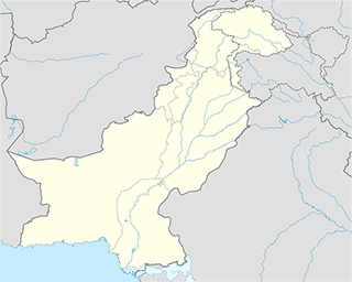
Bhalwal
Hindu Temple
Dahram Mandir
Main City TMA Road, Bhalwal
Hindu Temple
read more
Hospital
Fatima Maternity Home
Farman Charlas Road, Bhalwal
Hospital
read more
Al Shakh Hospital
Bhalwal
Hospital
read more
Al KHAIR TIBBI HOSPITAL
Chak No 5 SB Road, Bhalwal
Hospital
read more
Afzal Health Center
Bhalwal
Hospital
read more
بنیادی مرکز صحت - چک نمبر ١٠ شمالی
Chak No.10.N.B Bhalwal
Hospital
read more
Alshifafari Damemorial
Bhalwal
Hospital
read more
Yasmin Clinic
Thana Road, Bhalwal
Hospital
read more
Ansar Anchi And Mlk Alyas VollyBallNet
Chak No 18 N.B, Sargodha, Punjab, Chak No 18 N.B
Hospital
read more
Abid Hospital
Main City TMA Road, Bhalwal
Hospital
read more
Sacial Security medical Center
Lalazar Colony Bhalwal, Farman Charlas Road, Bhalwal
Hospital
read more
Naveed Hospital
Bhalwal
Hospital
read more
Bhatti Clinic
Pakistan
Hospital
read more
Lilliani hospital
Liliani
Hospital
read more
Al-Jalal Medical and General Store
Main Bazar, Bhalwal
Hospital
read more
Kokara Hospital
کوٹمومن بھلوال روڈ, Bhalwal
Hospital
read more
Laundry
Mughal Dry Cleaner
Bhalwal
Laundry
read more
Local government office
Passport Office Bhalwal
Sargodha - Gujrat Road, Bhalwal
Local government office
read more
Purana Bhalwal پرانابھلوال
, Punjab
Local government office
read more
Locality
Chak 7 NB
Chak 7 NB
Locality
read more
Bhalwal
Bhalwal
Locality
read more
Chak 13 NB
Chak 13 NB
Locality
read more
Chak No.5 ML
Chak No.5 ML
Locality
read more
📑
Bhalwal all categories
Atm
Bakery
Bank
Book store
Bus station
Cafe
Car rental
Car repair
Car wash
Cemetery
Church
City hall
Clothing store
Colloquial area
Department store
Doctor
Electronics store
Finance
Food
Funeral home
Furniture store
Gas station
General contractor
Grocery or supermarket
Gym
Hair care
Health
Hindu Temple
Home goods store
Hospital
Jewelry store
Laundry
Local government office
Locality
Lodging
Mosque
Natural feature
Neighborhood
Park
Pharmacy
Place of worship
Point of interest
Police
Political
Premise
Real estate agency
Restaurant
Route
School
Shoe store
Shopping mall
Stadium
Store
Supermarket
Train station
Travel agency
University
Veterinary care
administrative area level 3
sublocality level 1
↑